


FEDERAL HIGHWAY ADMINISTRATION
Introduction
The Interstate system in the United States is as diverse as the States it traverses and the people that use it. This report attempts to explore the diversity of the Interstate system by State and route, by focusing on a few data attributes that reflect its extent, usage, and condition. The following are brief descriptions of the data included in this report and where the data come from.
Data Source
The data contained in this report were submitted to the Office of Highway Policy Information, Federal Highway Administration (FHWA) in 2011 by each State. The data were submitted through, and are maintained in, a FHWA data system known as the Highway Performance Monitoring System (HPMS). States are required to submit HPMS data annually to FHWA. These data reflect a wide variety of attributes about the roads in each State including, but not limited to: extent, function, ownership, usage, and condition. FHWA uses these data for a wide variety of applications including; analyzing the condition and performance of the nation’s roads, forecasting future system requirements, and analyzing investment strategies.
Data Descriptions
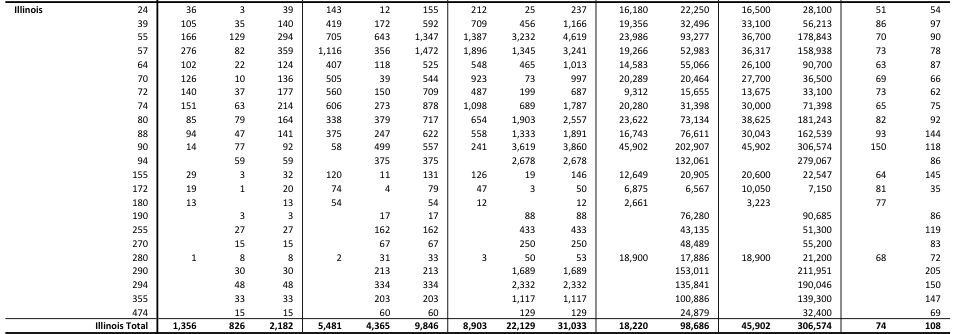
Route – The signed Interstate route number. On roads that are signed with more than one route number, the data are assigned to the lowest route number. For example, sections of the Capital Beltway in Maryland that are signed as both I-95 and I-495 would be included in 95, and not 495.
Length – The approximate length of each route in miles. The length of individual routes may vary slightly from the official route mileage published in the FHWA Route Log and Finder List publication.
Lane Miles – Lane miles is a calculated field that is derived by multiplying the number of lanes by the length for each section. The number reported is the sum of the lane miles for every section on a route.
Mean Annual Average Daily Traffic – States report an annual average daily traffic (AADT) for each section of Interstate, which represents the average number of vehicles that use that section of road every day. The number reported in the brief is the unweighted mean of all the AADT’s for each section on each route.
Maximum Annual Average Daily Traffic – The maximum AADT represents the highest reported AADT for any individual section on each Interstate route.
Mean Annual Vehicle Miles Traveled – This is a calculated field which is derived by multiplying the length of each section by the corresponding AADT and then summing that for each route. That number is then multiplied by 365 and divided by one million. The resulting number represents the millions of miles that are driven by vehicles each year for a given Interstate route.
Mean Pavement Roughness – States report pavement roughness using the International Roughness Index (IRI) value for each section of Interstate. The IRI represents the cumulative vertical deviation from a smooth surface for each section in inches per mile. The number reported in the brief is the unweighted mean of all IRI values for a given Interstate route. For an individual section a value of less than 95 is generally considered good, while one that is less than or equal to 170 is generally considered acceptable.
Read full report (PDF) here: Condition of the U.S. Interstate System
About the Federal Highway Administration
www.fhwa.dot.gov
“The Federal Highway Administration (FHWA) is an agency within the U.S. Department of Transportation that supports State and local governments in the design, construction, and maintenance of the Nation’s highway system (Federal Aid Highway Program) and various federally and tribal owned lands (Federal Lands Highway Program). Through financial and technical assistance to State and local governments, the Federal Highway Administration is responsible for ensuring that America’s roads and highways continue to be among the safest and most technologically sound in the world.”
Tags: Condition of the U.S. Interstate System, FHWA, Illinois
 RSS Feed